Central Kazakhstan, or Karaganda oblast, comprises the immense central highlands of the Kazakh Melkosopochnik, whose more traditional name is Sary-Arka. It stretches from the Turgai hollow and the Priaralskiye Karakums in the west to the Khanshyngys and Akshatau mountain ranges in the east, and from Lake Balkhash and the Betpak-Dala desert in the south to Lake Tengiz and the Yereymentau mountains in the north.
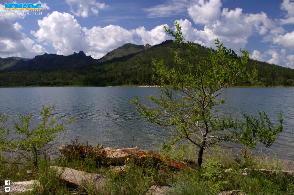
The terrain is largely steppe alternating with low mountain massifs, of which the largest are called Karkaraly, Kent, Kyzylarai and Ulytau. The highest mountain is Aksoran, whose summit is at an elevation of 1,565 meters above sea level. The mountains are popular tourist destinations.
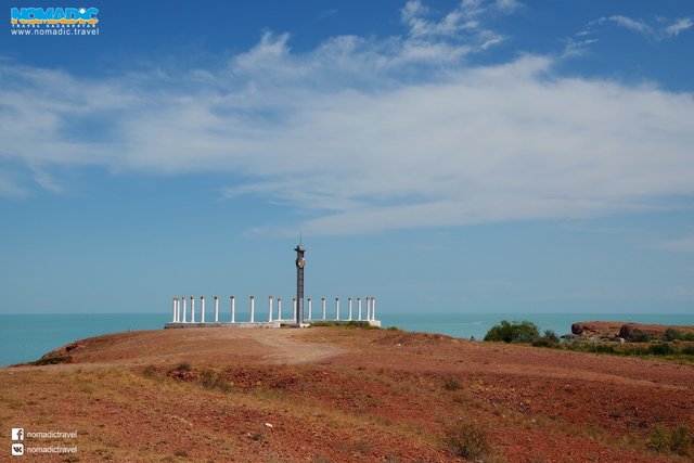
The region is dry, with only one major river, the Nura. In order to improve the supply of fresh water, the Irtysh-Karaganda canal was constructed in the 1970s. Other water resources include the northern shore of Lake Balkhash, Kazakhstan’s biggest lake, half salty and half fresh.
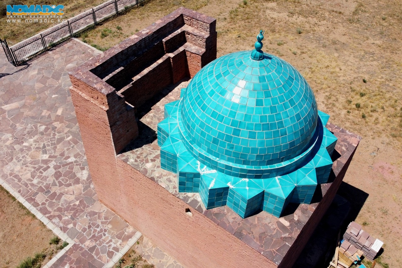
Ample archeological evidence confirms that Central Kazakhstan was first settled in the Stone Age by people who fed themselves from fishing and hunter-gathering. Cattle-breeding and settled agriculture developed in the Bronze Age. Later, non-ferrous metallurgy flourished here, the 12th to the 9th centuries BC proving to be the golden age of the copper- and bronze-based Begazy-Dandybai culture. Later still, Jochi, Genghis Khan’s eldest son, played a key role in the history of the region; his grave lies at the foot of the Ulytau Mountains, which were revered as sacred by the ancient Kazakhs.
The oblast capital is Karaganda. Other important cities include Temirtau nearby, Zhezkazgan in the west and Balkhash in the south-east. All the region’s cities owe their development almost exclusively to 20th-century industrialisation, based mainly on coal and ferrous and non-ferrous metallurgy. Sadly, this was the cause also of major environmental disfigurement.


