West Kazakhstan lies in the borderlands between Europe and Asia. The Silk Road passed through the region, which was also the site of the first contacts between Russians and Kazakhs. This is a region of contrasts — vast deserts extending all the way to the sea.
Much of the region’s more recent history revolves around the interaction between Kazakh nomads and the Russian settlers that arrived in the steppe during the period of Russian expansion, when many of the cities founded there around this time served as outposts from which to extend Russian conquest of Central Asia, and the region itself was a buffer zone at the intersection of Asian and European trade routes. United by this historical common factor, most of the region’s cities share a more modern characteristic — rapid development financed by exploitation of rich deposits of oil and gas. Only Aktau, founded in Soviet times, lacks the older link with other cities in the region — although it too is heavily dependent for its development on fossil fuels.
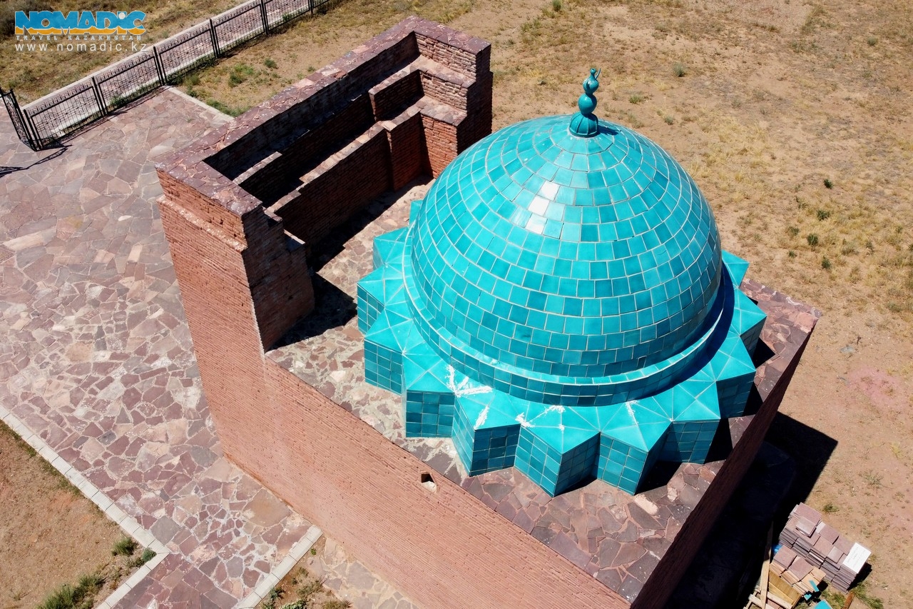
But despite its severe climate, the region has been one of surprising vitality for centuries. Settlement was especially vigorous in the Middle Ages; ancient settlements at Saraichik and Kyzyl-Kala, along with the underground mosques of Mangystau and numerous mausoleums, all testify to this.
The Zhamanshin meteorite crater and numerous chalk mounds and sub-sea-level depressions figure among the many compelling natural features of the region.
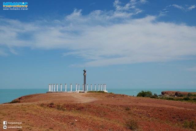
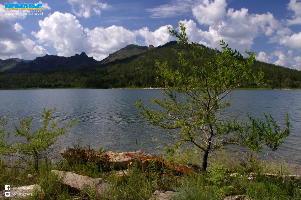
West Kazakhstan stretches from the lower reaches of the River Volga in the west to the Turgai gully and the Aral Sea in the east; and from the southern Ustyurt plateau in the south to the submontane steppe of the Southern Urals in the north. The area accordingly includes the Caspian lowlands, the Mangyshlak, Ustyurt and Poduralskoye plateaus, and the Mugojar mountains; and is thus predominantly flat. Although there are mountains in both east and south, they are not high: up to 700 meters in the east, and 550 meters in the south. A substantial portion of the territory lies below sea level, and one of the deepest depressions in the world, the Karagiye (132 meters below sea level), is to be found there.
West Kazakhstan being principally either desert or steppe, many of its rivers and lakes dry up periodically. This makes the River Ural, which is regarded as marking the border between Europe and Asia in this part of the world, the region’s principal waterway: it is its only non-seasonal river, flowing north-south through the western part of the region all year round.
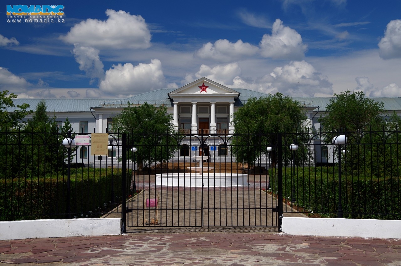
West Kazakhstan consists of four oblasts: Atyrau Oblast, with its capital at Atyrau; West Kazakhstan Oblast, with its capital at Uralsk; Aktobe Oblast, with its capital at Aktobe; and Mangystau Oblast with its capital at Aktau. Besides these four main cities, there are a number of smaller and not especially remarkable ones including Aksai, Kandyagash, Makat, Kulsary, and Zhanaozen. One more, Fort Shevchenko is worth a visit: founded in 1846 it boasts a number of museums and other sites of interest.


